
Origin and context
Review what was actually supplied: files, units, references, project area and known limitations.
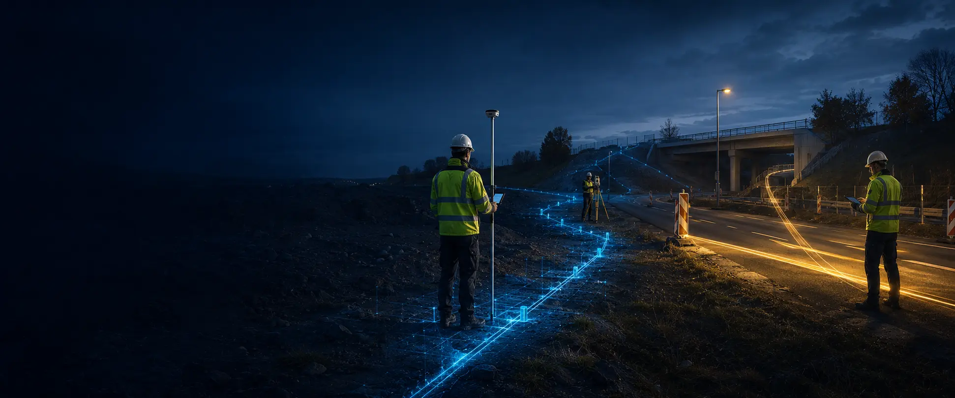
Add the original survey file, confirm its technical context, review everything visibly and then deliver one traceable project package.
From left to right the route stays legible: the source arrives, technical structure is recognised, context is confirmed and the same state feeds viewer and document.
Review what was actually supplied: files, units, references, project area and known limitations.
Assess spatial relationships and keep warnings linked to the relevant evidence.
Record what was reviewed, what remains open and who performs final release.

Record original file and SHA-256.
Read real points, lines, layers and metadata.
Treat CRS, units and height reference as explicit decisions.
Connect map, object details, table, profile and finding.
Use the same selection for preview, PDF and project package.
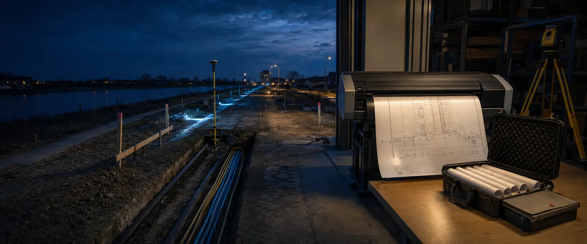
Every transition traces back to source data or explicit human confirmation. Survey Control does not take over professional responsibility.