Origin and context
Review what was actually supplied: files, units, references, project area and known limitations.
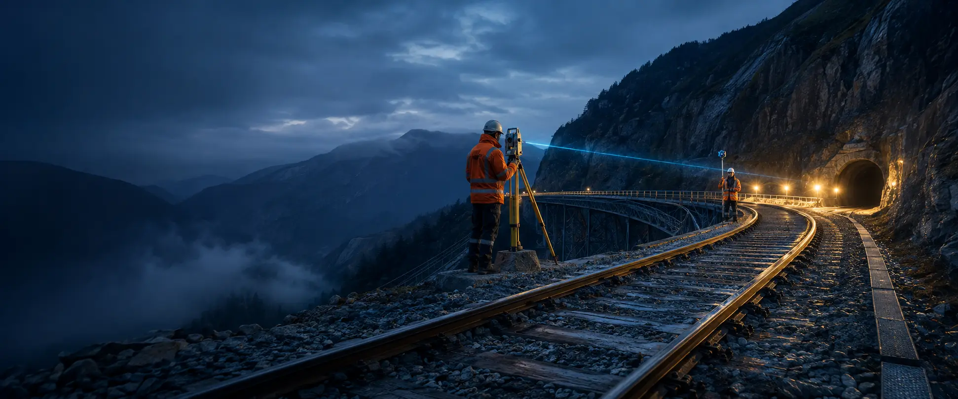
Points, codes, linework, coordinates and heights are intended to remain visible for professional review. Automated recognition is only claimed after verified implementation.
Review whether points, lines, codes, heights and references were read correctly, then deliver a package that leads back to the original source.
Review what was actually supplied: files, units, references, project area and known limitations.
Assess spatial relationships and keep warnings linked to the relevant evidence.
Record what was reviewed, what remains open and who performs final release.

Import the original file and review parsing before using conclusions.
Link questions and findings to the relevant map, object, profile or document section.
Use document preview and release status to communicate the reviewed project state.
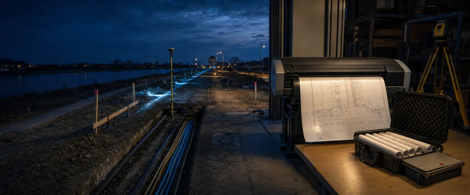
Survey Control supports collaboration and evidence; each party remains responsible for its own professional and contractual assessment.