

SURVEY DATA · VISIBLE CONTROL · EVIDENCE
See before delivery what the surveyor actually captured.
Connect the original survey file to maps, objects, height profiles, findings and a professional deliverable in one traceable project state.
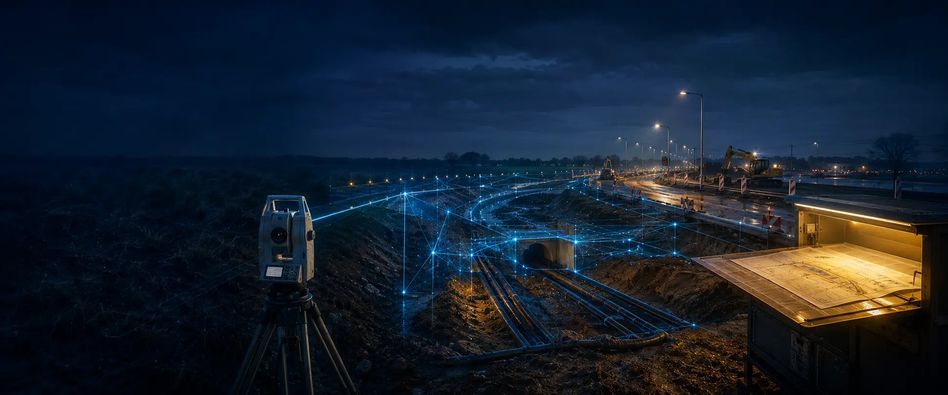
01 · THE MEASUREMENT EXISTS BEFORE THE SOFTWARE
Outside, reality is measured. Inside, the source remains intact.
DXF, TXT, CSV and LandXML enter as supplied. File identity, geometry and available height stay connected to the original source.

See the source become a controlled project state.
Recognition, context, layers, findings, viewer and document form one visible technical route.
- 01SOURCE FILESOriginal files enter
- 02RECOGNITIONGeometry is understood
- 03PROJECTSTATEThe controlled data core
- 04VIEWERMap and layers become visible
- 05DELIVERYPDF and project package leave

03 · ONE PROJECT STATE · FOUR RESPONSIBILITIES
Everyone sees the same work without losing the source.
The surveyor, field team, supervisor and client each read their part of the same evidence chain.
- 01SURVEYOR
- 02FIELD TEAM
- 03SUPERVISION
- 04CLIENT
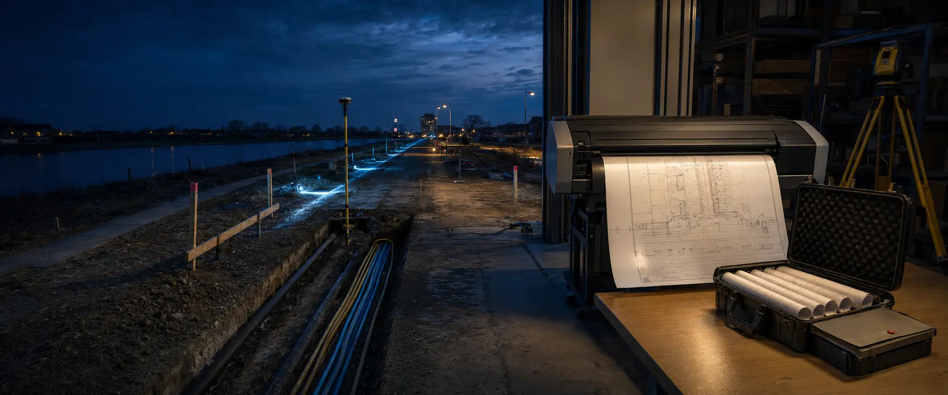
04 · FROM REVIEW TO HANDOVER
What is visible in the viewer is what enters the document.
Map, object selection, height profiles, findings and release status stay traceable through PDF and project package.
- 01ORIGINAL FILE
- 02SHA-256
- 03VISIBLE FINDINGS
- 04HUMAN RELEASE
05 · EUROPEAN CIVIL ENGINEERING · LOCAL CONTEXT
One visual world. One source of truth. A deliberate release.
Start with your own measurement. Unknown CRS or height context remains unknown until a professional confirms it.